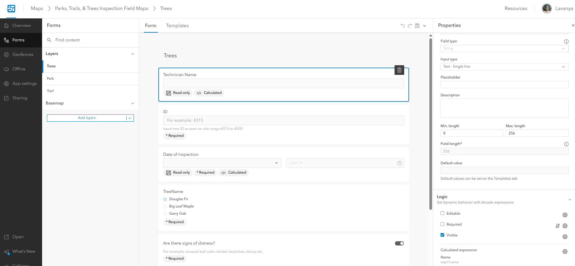
ArcGIS Field Maps Designer is a web-based tool that enables users to configure and optimize maps for mobile field data collection. It streamlines field workflows by allowing users to customize forms, link attributes to feature layers, and enhance data collection processes. Users can set up required fields, apply conditional logic, and optimize mobile workflows for field staff.
Take a look at this example:
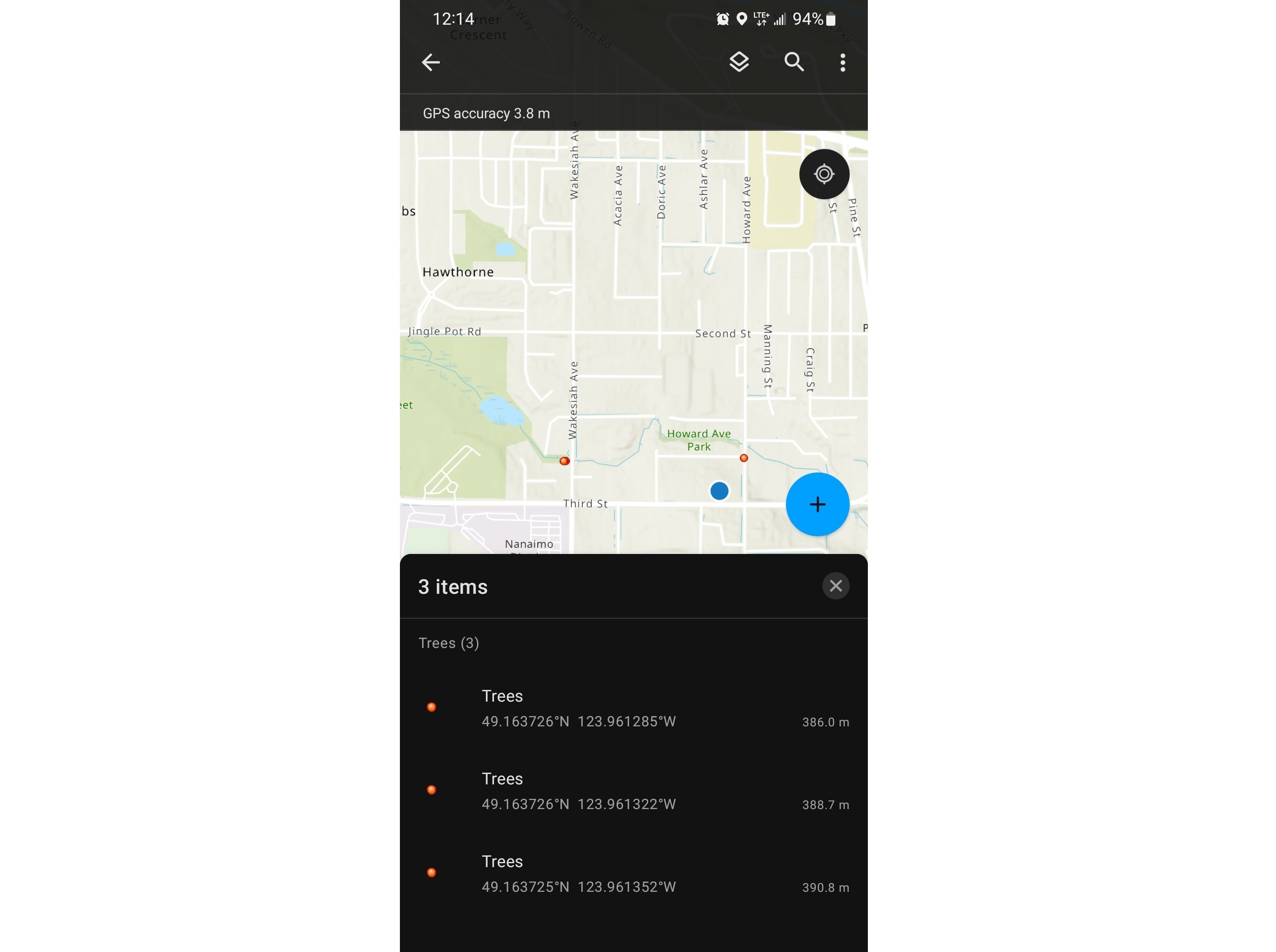
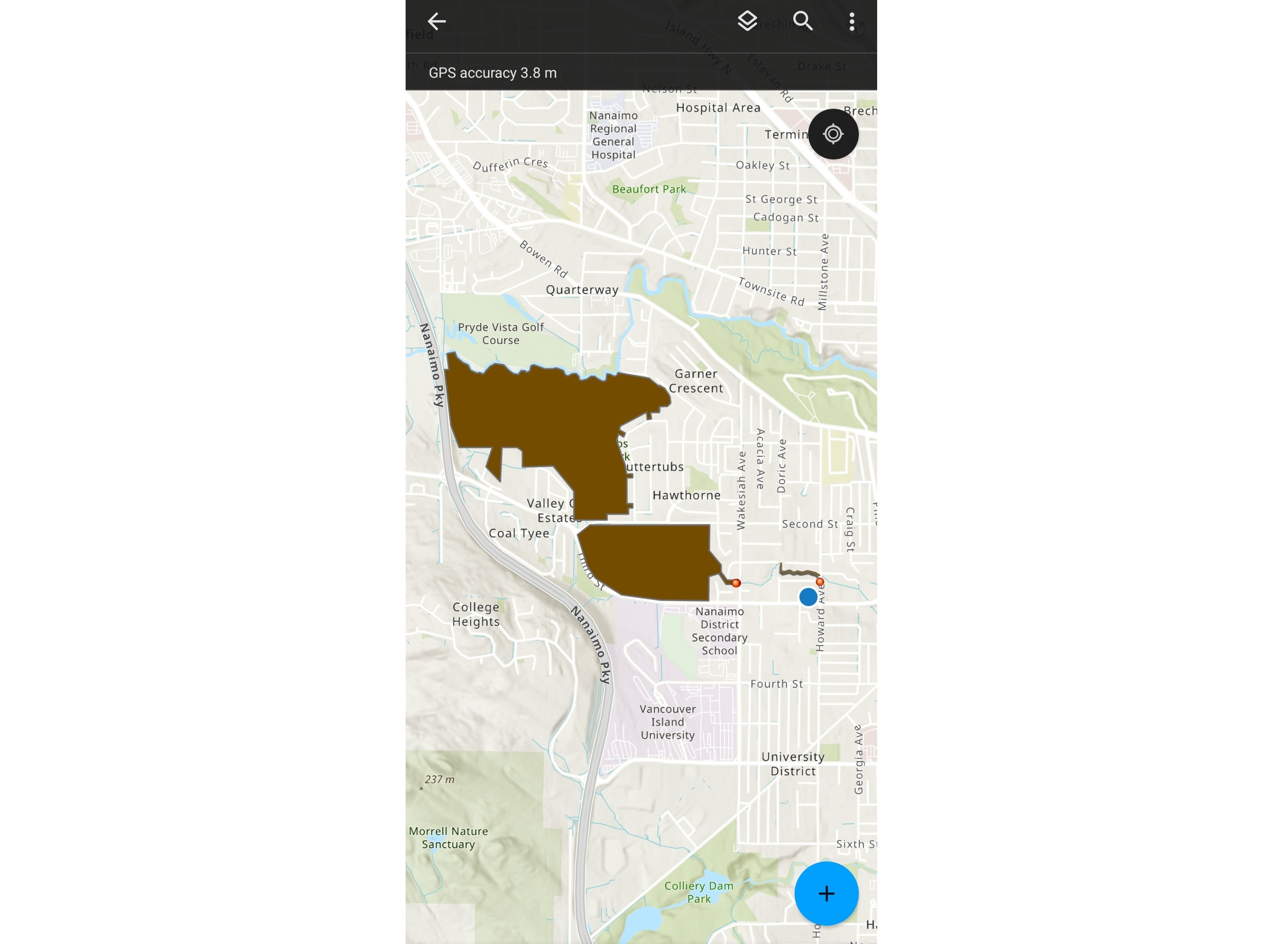
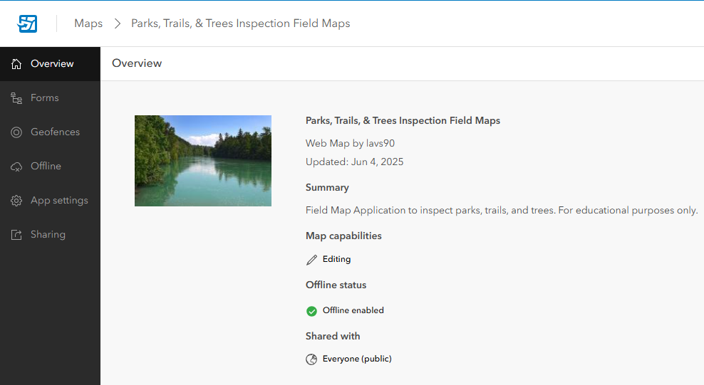
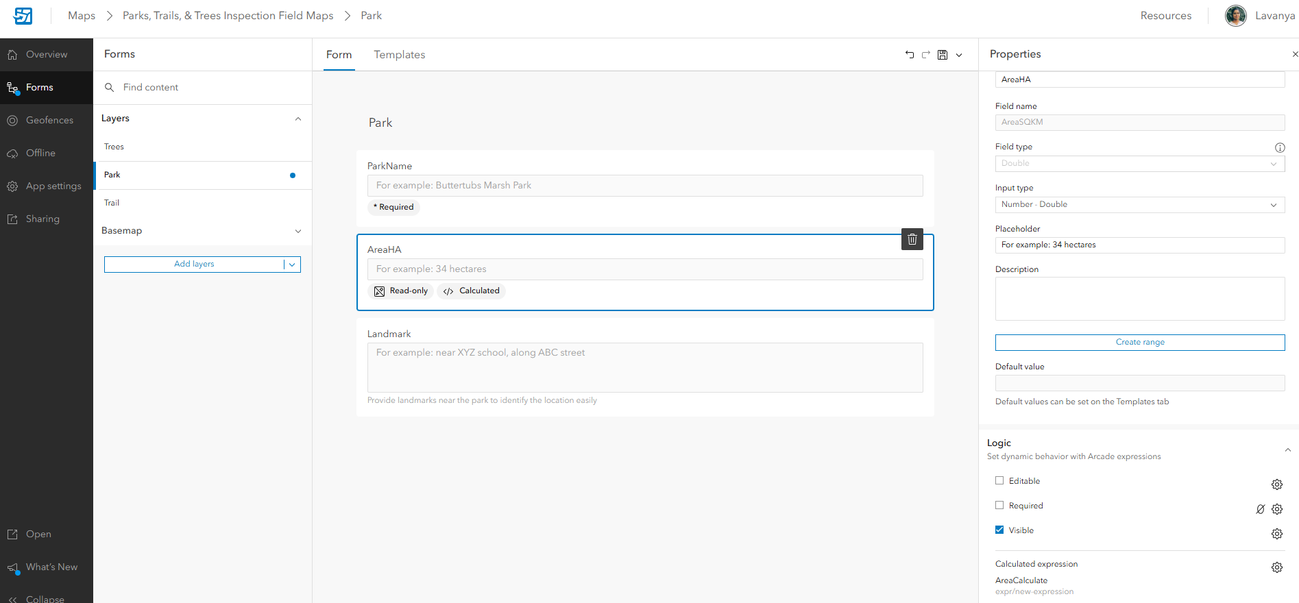
Parks,Trails & Trees Inspection – A field map tool developed using Field Maps Designer for monitoring park infrastructure and natural resources. Technician can create and edit points, lines, and polygons, while collecting associated attributes. Key features include auto-populate fields like date, username, feature dimensions, and location, as well as the ability to attach photos and videos. The tool also supports offline data collection, allowing users to work without an internet connection.