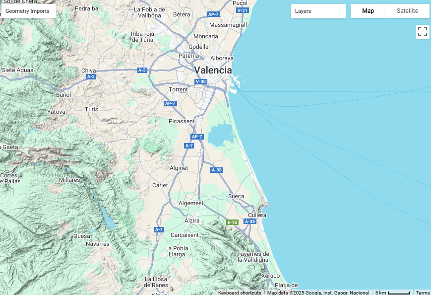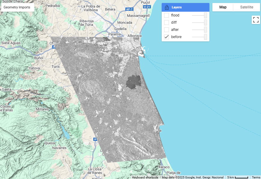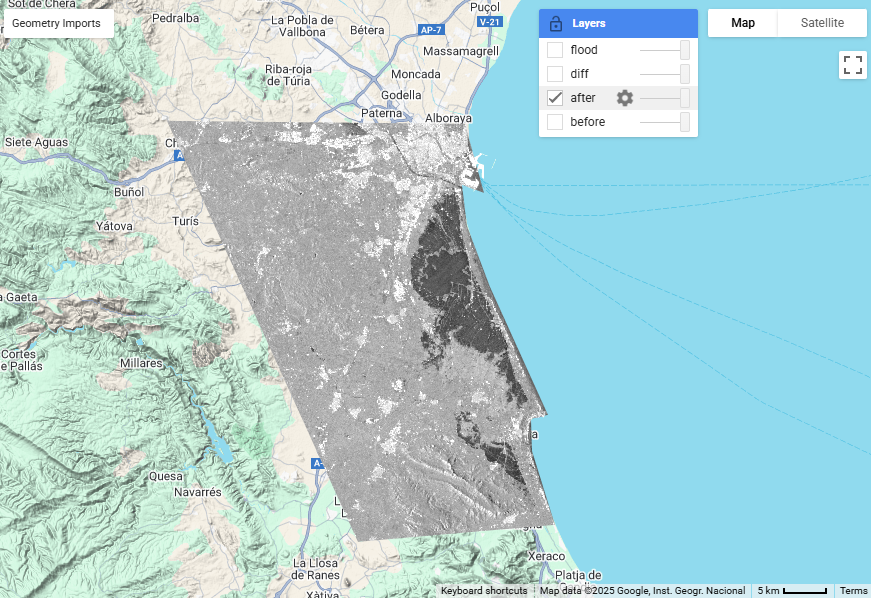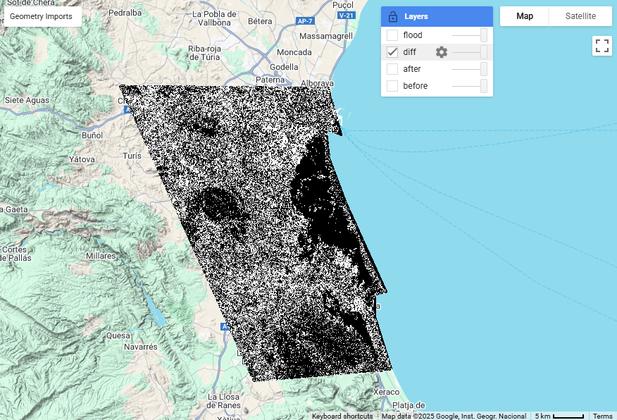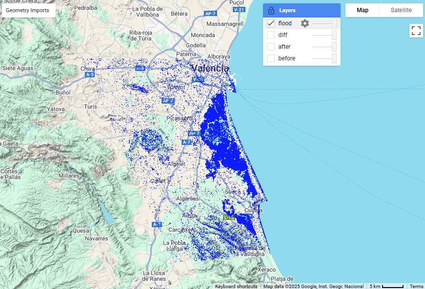
Flood mapping using Sentinel-1 SAR imagery involves the use of radar data to detect and monitor flood events. The advantage of using SAR imagery is its ability to penetrate cloud cover and capture images during both day and night, making it a valuable tool for disaster response and management. Take a look at this example: Valencia, Spain experienced a significant flood event in October 2024, which was captured using Sentinel-1 SAR imagery. The images show the area before and after the flood, highlighting the extent of the inundation.
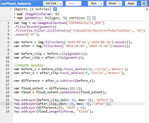
This analysis was conducted using Sentinel-1 SAR imagery available through Google Earth Engine. The script uses a simple subtraction method to create a flood map by comparing pre-flood and post-flood images. The non-flooded areas are masked out, and the resulting flood map is then visualized using a color ramp to enhance the visibility of the flooded areas.