
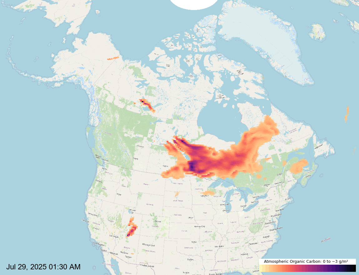
Wildfires are a significant source of atmospheric organic carbon (OC), which can impact air quality, human health, and climate. The GIF below highlights OC emissions from wildfires across Canada during the period of July 29 to August 4, 2025. This map was created using NASA’s Global Modeling and Assimilation Office Research Site (GMAO) Organic Carbon data, processed in QGIS, and exported as a GIF using ezgif. The workflow was adapted from a tutorial by Marco Hernandez.
To complement the animation, the map below displays the geographic distribution of active wildfires using Natural Resources Canada’s WMS layer. This layer provides real-time fire location data sourced from the Canadian Wildland Fire Information System (CWFIS). Citation: Canadian Forest Service. 2022. Canadian Wildland Fire Information System (CWFIS), Natural Resources Canada, Canadian Forest Service, Northern Forestry Centre, Edmonton, Alberta. http://cwfis.cfs.nrcan.gc.ca.